Alan Godfrey Maps
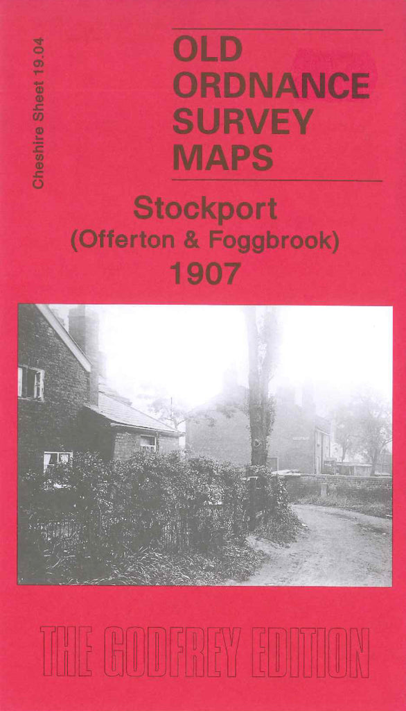
Stockport (Offerton & Foggbrook) 1907
Code:
£3.50
Godfrey Map Number 19.04. This map fits to the right of the map of Stockport (South) 1907 (Code 3430). Shows mainly farmlands with a few wooded areas. The main housing mostly terraced is off Hempshaw Lane, Bank Lane & Offerton lane in the top left corner of the map, and at the bottom left there are terraced houses in Stockport Great Moor & Mile End. It includes: St.George’s Mission Hall, Dye Works, Offerton Hat Works, Hampstead Cotton Works, Girls Industrial School Dialstone Lane, Offerton Industrial School – Gildedhollies - Print Works - and St. John’s Church all off Offerton Lane, etc.

