Alan Godfrey Maps
Woodley 1897
Code:
£3.50
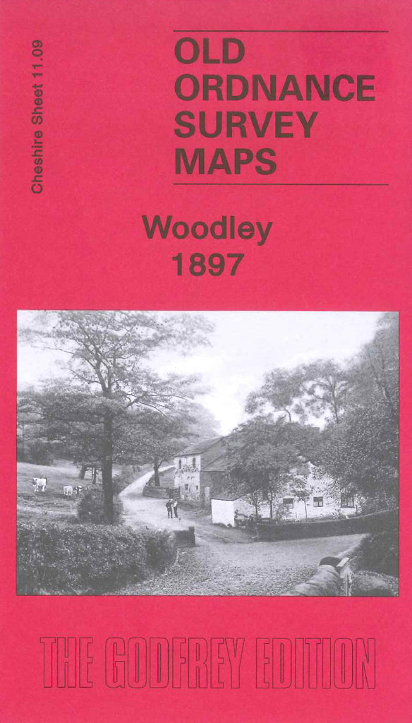
Godfrey Map Number 11.09. Woodley 1897. This map fits above that of Romily 1897 (Code 3432). It shows mainly farmlands that are all sectioned off and each plot is numbered. As well as Woodley itself it includes:- Butterhouse Green, Greavefold, Lane-ends, Birches, Back-o’th’hill, Top-o’th’hill. It also includes:- Cheshire Lines Railway, St. Mark’s Church on Stockport Road West, Woodley Iron Works, Cogregational Chapel on George Lane, etc.