Alan Godfrey Maps
Timperley 1897
Code:
£3.50
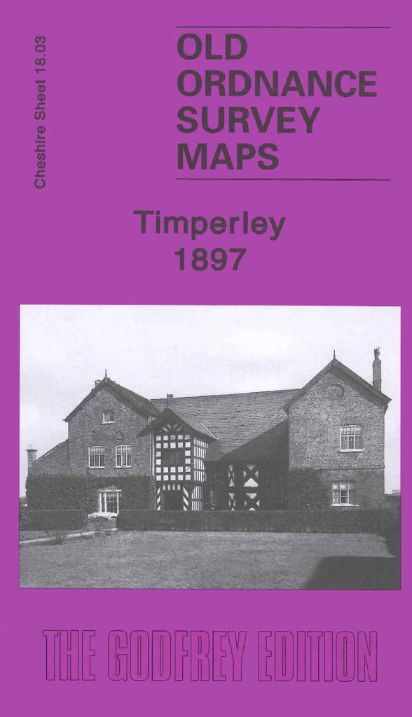
Godfrey Map Number 18.03. Timperley 1897. this map fits to the left of the above map of Gatley 1897 (Code 3456). It has an extended map on the reverse side. Most of the area is farmlands with the Cheshire Lines Railway running from left to right across the map, with Baguley Station about the centre. The houses in Timperley are terrace and semis. Includes:- Mount Pleasant; Edenhurst and a School & Christ Church on Thorley Lane; Baguley Hall; Giblane and Blackcarr Woods; etc.