Alan Godfrey Maps
Stockport (Central) 1897
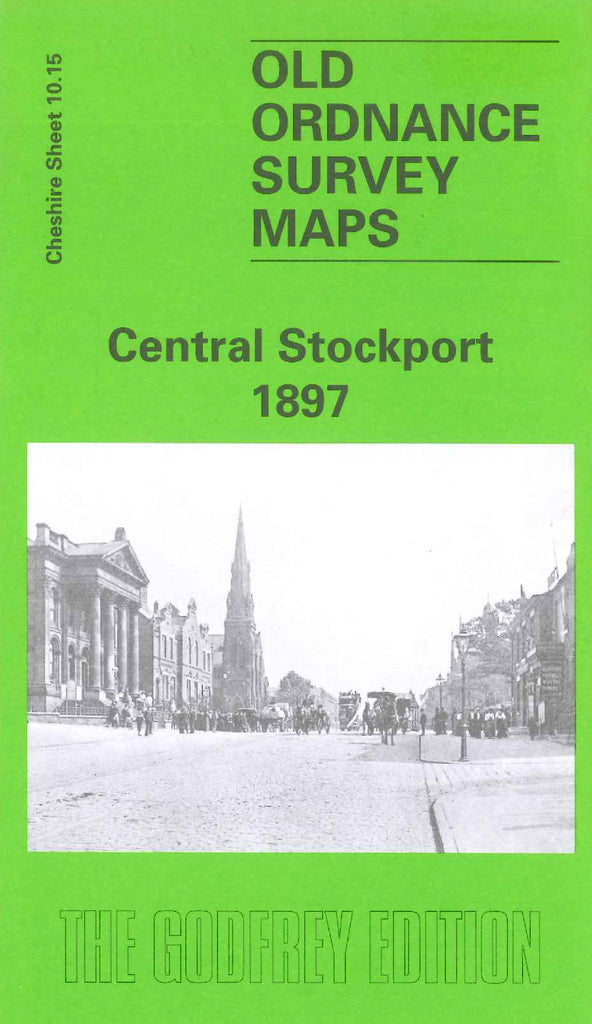
Code:Godfrey Map Number 10.15. Cheshire: Stockport Central 1897. In 1842, Stockport was visited by Cook-Taylor on his tour of the north of England. He commented that 'Although situated in the county of Cheshire it belongs commercially to Lancashire and it is still further identified with the palatinate by the feeling, the interests, and the spirit of its inhabitants'. The town of Stockport developed on the south bank of the Mersey in Cheshire. The area north of the Mersey was Lancashire the river being its boundary between the two counties for its entire length. This is the reason why the top Left section of the map is blank. It includes: Spring Mount (Thread) Mill; Sovereign (Iron) Works; Gorsey Bank, Portwood, Spring Bank & Meadow (Cotton) Mills; Holly Wood; Portwood, Spring Bank & St Mary’s Wards; Electric Works; Gas Works; St Joseph’s RC Chapel off Wellington Street; St Mary’s Church & Graveyards Church Gate; Hawfield Gardens; Highgate Hat Factory; etc.