Alan Godfrey Maps
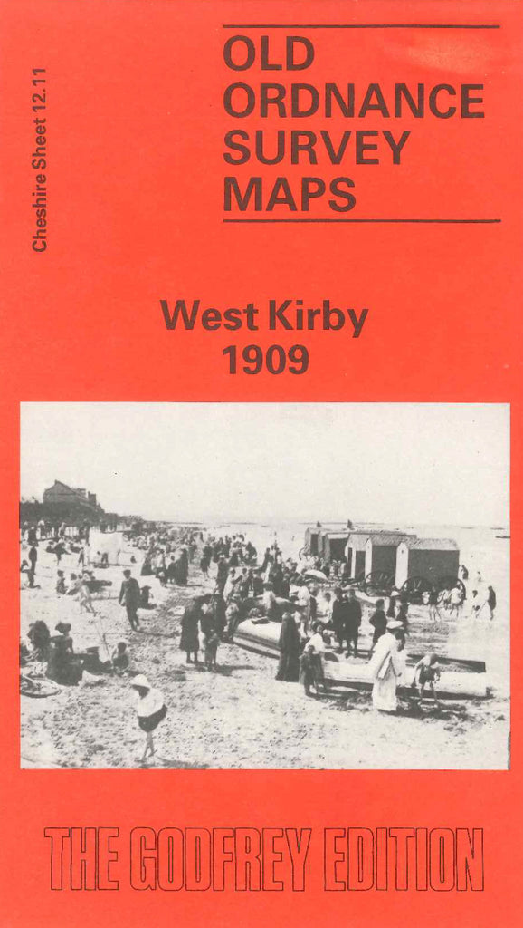
West Kirby 1909
Code:
£3.50
Godfrey Map Number 12.11. This map fits below the map of Hoylake cum West Kirby 1909 (Code 3409). A third of the map shows the River Dee & Tanskey Rocks, the remainder shows mainly terraced & semi-detached houses along South Parade, further inland there are semi-detached and detached houses and farmlands. It includes: Marine Lake, Ashton Park, The Old Village, Grange, Kirby Park, St.Bridget’s Church Rectory Rd., West Kirby Hotel South Parade, etc. On the reverse side is the continuation of the lower part of the map, it shows Caldy, the L.& N.W.& G.W. Joint Railway Hooton & West Kirby Line.