Alan Godfrey Maps
Manchester Hulme St George 1849
Code:
£3.50
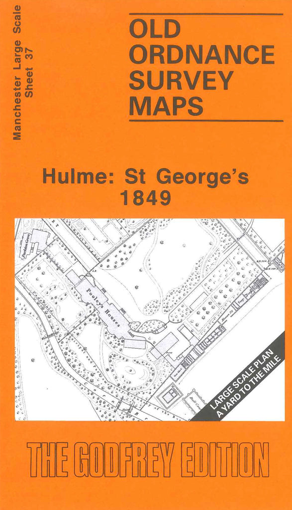
Godfrey Map Number 37. Hulme, St. George's, Manchester. 1849 36 inches to 1 mile Includes; Hulme Hall dry dock, Hulme Hall Bridge over the Bridgewater Canal, Queen St. Wesleyan Methodist School, The Prince of Wales public house, Pryme St./Silver St. Christ Church School and Burial Grounds, Cedar St., Cavalry Barracks, Corbrook Park