Alan Godfrey Maps
Manchester London Road 1849
Code:
£3.50
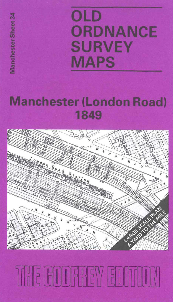
Godfrey Map Number 34. Manchester (London Road)1849. 36 inches to 1 mile. The River Medlock meanders its way across middle of map. To the north is London Rd. Railway Station. To the west is Brook St. east is Mayfield St. and south-east is Ardwick Green. The Rochdale Canal crosses the top left corner of the map. London Rd. Runs north to south to become Downing St. Mainly a residential area with works around Ardwick in south and the Rochdale Canal in the north-west.