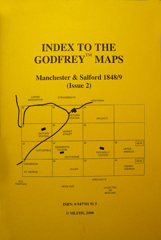
Alan Godfrey Maps
Manchester City Centre 1849
Code:
£3.50
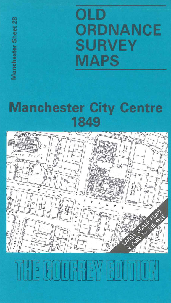
Godfrey Map Number 28. Manchester City Centre 1849. 36 inches to 1 mile. The River Irwell cuts across the top left of the map - dividing Manchester and Salford. Wood St. Yorkshire St. and Worsley St. are the parts of Salford shown. Blackfriars St. St. Mary’s Gate and Cannon St. are to the north. Peter St. to the south and High St. to the east.Many churches and chapels are shown as well as The Town Hall, Royal Institution and the Mechanics Institution.