Alan Godfrey Maps
Manchester Ancoats (North) 1848
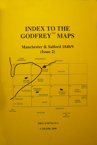
Code:Godfrey Map Number 25. This map fits above the map of Ancoats 1849 (Code 3030) and now completes the set of sixteen maps that cover Manchester City Centre and its near suburbs.
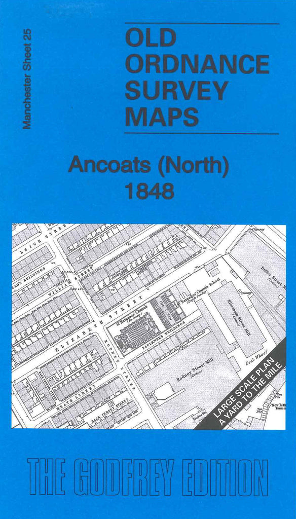
To the left of the map, about two thirds is highly populated with mainly terraced houses. It shows part of Oldham Road, The Rochdale Canal, The Manchester Ashton under Lyne Oldham and Stockport Canal and Shooter’s Brook. It includes: Cotton Mills – Lloyd’s Field Mill, Butler St. Mill, Rodney St. Mill, New Islington Mills, Jersey St. Mills, Bradford Rd. Mill, Brunswick Mill. Also includes: St. Barnabas’ Church and School on Elizabeth St., Manchester Glass Bottle Works Prussia St., Queen’s Iron Foundry Pott St., New Islington Chapel Daniel St., Chalmer’s Church (Scottish Presbyterian) on Piercy St. etc. On the reverse side of the map is a list of occupants on ten of the main streets, the longest being Bradford St., the list is taken from Slater’s Directory of Manchester 1849.
There is a street index book that covers all of this map, plus the whole set of sixteen maps, and can be purchased from the bookshop, see Code 1019, or, you can purchase the sixteen maps at reduced cost, see Code 3099 below.