Alan Godfrey Maps
Manchester (NW) & Central Salford 1931
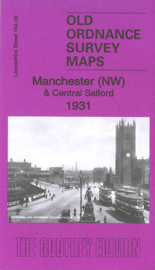
Code:Godfrey Map Number 104.06b. This map is a later version of the map of Manchester (NW) & Central Salford 1915 (Code 3131). It includes: Lower Broughton, Strangeways and its prison, Great Horrocks (part), Peel Park, Broughton Copper Works, Exchange Station, Victoria Station, Chetham Hospital & Library, Salford Docks (part) (Oldfield Road Wharf), The Cathedral, Corn and Produce Exchange, Royal Hospital Chapel St. The River Irwell winds its way down the left side and across to the right of the map. There are some minor changes to the earlier version, to name a few: Lead Seal Works & Copper Works added on North George St., Saw Mill & various other works added on Broughton Lane, Empire Works (Pneumatic Appliance) added on Bent St. On the reverse side of the map is a list of residents on Chapel Street and Shudehill, (Extracts from Kelly`s Directory of Manchester, Salford & Suburbs 1938.