Alan Godfrey Maps
Manchester (NE) 1915
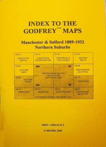
Code:Godfrey Map Number 104.07b. This map is a later version of the map of Manchester (NE) 1891 (Code 3121). It shows many changes than the earlier map some minor and some major. The major ones are in the Miles Platting and Bradford areas where new rows of terraced houses have been added. The name of some new streets in the Miles Platting area are: Lord St., Falmouth St., Clifton St., Joynson St., Hanbury St., Wimbourne St., Correlli St.,Wedgwood St., In the Bradford area north of Philips Park Rd. is Ardley St., Broming St., Haven St., Cardigan St. Also includes: Travis Isle Mill (Starch, Size & co.) off Collyhurst Rd., Bradford Gas Works. Oldham Rd. Goods Station, St. Patrick’s RC Church & Convent Livesey St., The River Irk, Manchester & Ashton under Lyne Canal and various Railways, etc. On the reverse side of the map is a list of residents on Jersey St. and on Oldham Rd. taken from Slater’s Directory 1917 (both sides of Oldham Rd. odds and evens from door number 5 to 435 & 2 to 550 respectively).