Alan Godfrey Maps
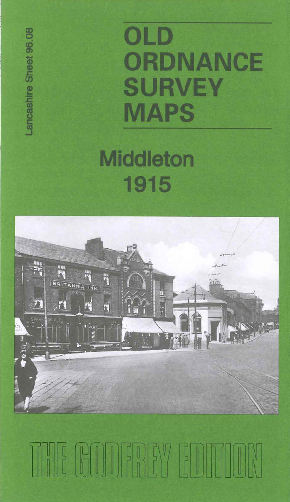
Middleton 1915
Code:
£3.50
Godfrey Map Number 96.08. The map shows mainly populated areas of terraced houses from Jubilee Park on Long St. to Peach Bank St. and along Oldham Rd. to Middleton Junction , the remainder of the map shows open lands. It includes: St Leonard’s Church & Cemetery and Old Board’s Head on Long St., Alkrington Garden Village, John Lee Fold, Mills Hill, Drummer Hill, Green Hill. There are several Cotton Mills including – Albany, Brookside, Lodge, Townley, Warwick, Tonge, Don, Spring Wood, Green Lane, Neva, Times, Baytree, Laurel. Also includes: St Michael’s Church Townley St,
Middelton Junction Railway Station, etc.