Alan Godfrey Maps
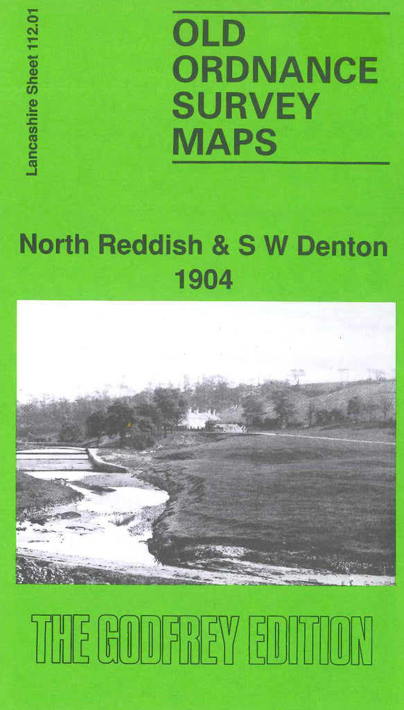
North Reddish & SW Denton 1904
Code:
£3.00
Godfrey Map Number 112.01. Shows mainly farmlands and stretches of woodland, terraced housing is on either side of Gorton Road from top to bottom on left side of the map. Sheffield & Midland Joint Railway and the Stockport & Guide Bridge line of the L & N.W.R. intersect at the centre of the map at Denton Colliery Sidings. It includes: Reddish Iron Works, St. Joseph’s RC Church Bolton Street, Summerfield House, Dane Bank, Holt Wood, Denton Hall, etc.

