Alan Godfrey Maps
Upholland (South) 1907
Code:
$5.00
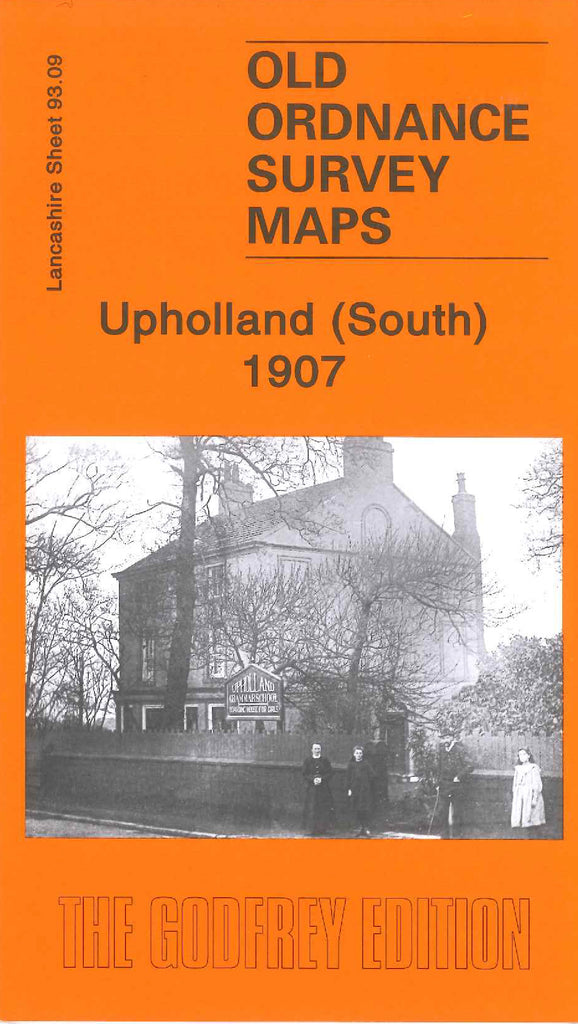
Godfrey Map Number 93.09. This map fits below the map of Upholland 1907 (Code 3984). There is a photograph on the front of the map taken during the winter, outside the Upholland Grammar School, has three ladies and a gentleman, maybe the headmaster, teachers and pupil.
Most of the map shows fenced plots of farmlands, the main housing is in the Far Moor area. It includes: Upholland Brick & Tile Works, Tontine, Sand Brook Mill (Cotton), St.James’s RC Church & Graveyard off James’s Rd., Queen’s Arms Inn and Grammar School off Sandbrook Rd., etc.

