Alan Godfrey Maps
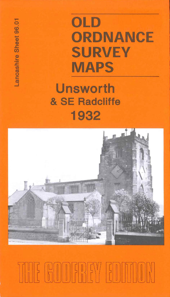
Unsworth & SE Radcliffe 1932
Code:
$5.00
Godfrey Map Number 96.01. Unsworth & SE Radcliffe 1932. This map fits below map of Bury (South) 1907 (Code 3388) & above map Whitefield 1907 (Code 3334). It shows mainly farmlands, and housing along the main roads, Bury New Road, Radcliffe New Road & Parr Lane. Includes:- Radcliffe Bleaching Works, Blackford Bridge, Beehive Spindle Works, St. George’s Church Hollins Lane, Spring Water Bleach Works, Elms Playing Fields, Lily Hill Dye Works, Victoria Mills (Cotton), etc.

