Alan Godfrey Maps
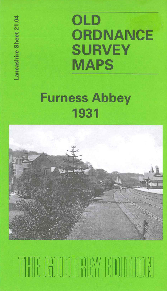
Furness Abbey 1931
Code:
$5.00
Godfrey Map Number 21.04. Furness Abbey 1931. 15 inches to 1 mile. Shows Furness Abbey (St Mary's) in ruins, the former manor house, now Furness Abbey Hotel, and the Abbey House. The L.M.S.R. Carnforth & Whitehaven Line runs nearby. To the south is the northern tip of Barrow-in-Furness and to the west is the small hamlet of Hawcoat.

