Alan Godfrey Maps
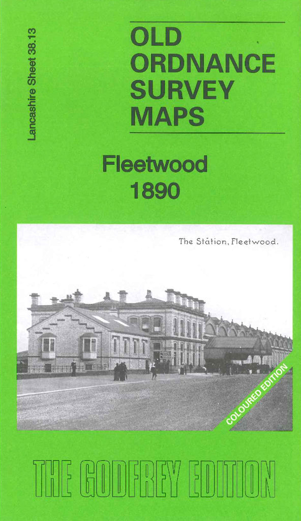
Fleetwood 1890 (Coloured edition)
Code:
$5.00
This is an earlier version of the map of Fleetwood 1910 (Code 3317). This map shows plots of open ground between Blakiston Street and the sea front, the 1910 version shows many rows of terraced houses occupying these areas. It shows a Cemetery, The Mount, Tully Bank, The Hutments, Rope Walk, North Lancashire Steam Saw Mills, Wyre Dock & Dock Channel, L.& Y. & L.& N. Joint Railway Preston & Wyre Line, Gas Works, Cricket & Football Ground, etc. Buildings are coloured Red, streets and roads Beige, water is Blue and trees Green. On the reverse side of the map is a list of residents (Extracts from P. Barrett & Co’s General & Commercial Directory).

