Alan Godfrey Maps
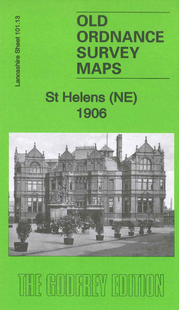
St Helens (NE) 1906
Code:Godfrey Map Number 101.13b. This map is a later version of St Helens (NE) 1892 (Code 3910). The main changes are in the Hardshaw Ward at the lower left corner of the map, where a large number of blocks of terraced houses have been added. Main Streets added are College St., Birchley St., Brynn St., Hardshaw St., Vincent St., and Charles St. Central Station has been added. Also, in Pocket Nook area a few blocks of terraced houses in Hoolbank St., Williamson St., Park St. and a new street Recreation Street added. It includes: a large St. Helens Plate Glass Works, Gerard’s Bridge Works (Chemical), St.Mary’s RC Church on Crab St., Town Hall on Corporation St., Union Plate Glass Works, Rainford Brook and various L.& N.W.R. Railway Lines. On the reverse side of the maps is an A to C list of residents of shops, businesses, farms, etc (from Kelly’s Directory of Lancashire 1918).

