Alan Godfrey Maps
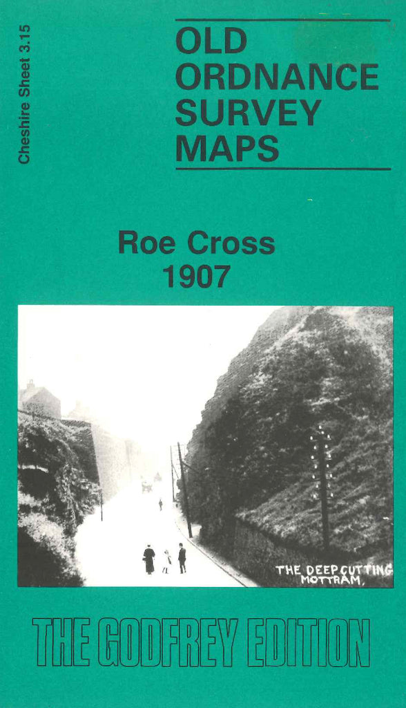
Roe Cross 1907
Code:
$5.00
Godfrey Map Number 03.15. This map fits to the right of the map of Stalybridge 1897 (Code 3418). It shows mainly farmlands with a little housing along Mottram Rd. It includes: Shaw Moor, Hobson Moor, Stalyhill, Mottram Old Hall, Wadding Manufactory, Spoutgreen, Landslow Green, Hollingworth (part), etc. On the reverse side is the continuation, fits above the map. It shows farmlands, a few wooded areas, Walkerwood Reservoir, Cock Wood, Rifle Ranges, Wild Bank, etc.

