Alan Godfrey Maps
Trafford Park 1905
Code:
$5.00
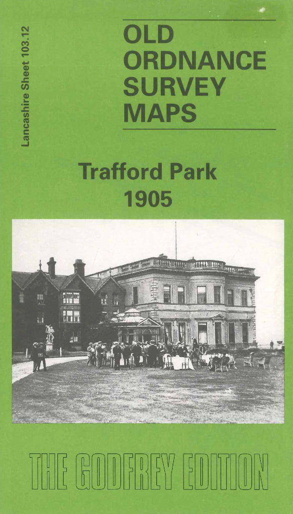
Godfrey Map Number 103.12. Lancashire: Trafford Park 1905 Trafford Park in 1905 was, literally, a vast rural park. The deer roamed and at the heart of the estate stood the stately pile of Trafford Hall, the family residence of the Traffords. The Hall & Park dominate this map, pre-industrial features which existed just a stone’s throw from the newly opened docks of the Ship Canal and within 3 miles of the centre of ‘boom town’ Manchester itself. Covered on both sides of the map it includes: East ward of Eccles; Albert Mill; Bentcliffe Bleach Wks; Moss Farm; Trafford Hall; Little Bolton Farm; Salford Sewage Wks; Trafford Park Cricket Ground Deer Sheds.

