Alan Godfrey Maps
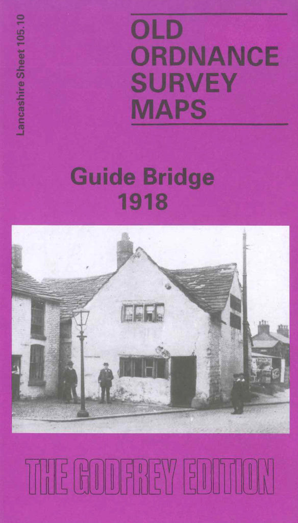
Guide Bridge 1918
Code:
$5.00
Godfrey Map Number 105.10. This map fits to the right of the map of Audenshaw 1916 (Code 3101). Shows a mass of L.& N.W.R. Railways running across the map, various Tramways, The Peak Forrest Canal, Manchester & Ashton under Lyne Canal and The River Tame. It includes: New Moss Colliery, St. Stephen’s Church, Cross Gate, part of Audenshaw, Chapel Field Ropery, St. Mark’s Church Church St., Guide Bridge Iron Works, Cotton Mills, Hooley Hill, Barnmeadow Works (Electric Accumulator), Rubber Works, etc.

