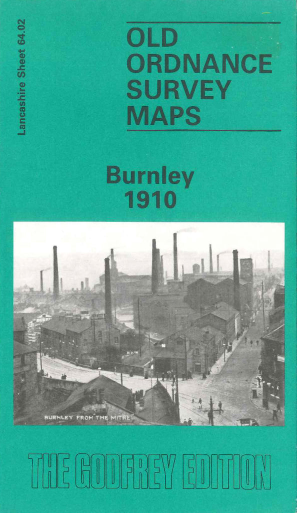
Alan Godfrey Maps
Burnley 1910
Code:
$5.00
Godfrey Map Number 64.02. This map fits below the map of Burnley (NW) (Code 3374). Shows a highly populated area with mainly terraced houses. The L.& Y.R. Railway Clifton, Accrington & Colne Line runs across from left to right. It includes: Whittlefield Recreation Ground, Cotton Mills – Yatefield, Cairo, Albion, Pendle View Shed, Whittlefield Shed, Spa, Olive Mount, Clifton, Bankfield & more. Also includes: Infantry Barracks off Barracks Rd., Leeds & Liverpool Canal, Stoneyholme, Keighley Green, Palace Skating Rink St.James St., Piccadilly Gardens, Empire Theatre Cow Lane, etc.

