Alan Godfrey Maps
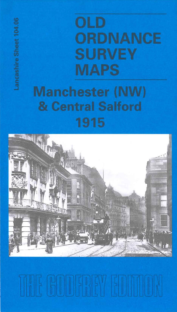
Manchester (NW) & Central Salford 1915
Code:
$5.00
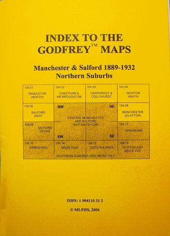
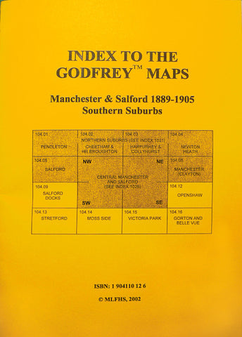
Godfrey Map Number 104.06a. Manchester (NW) & Central Salford 1915. Takes in north of city centre from St. Annes Church through The Cathedral, Chethams Hospital and Library, Victoria and Exchange stations to His Majesty’s Prison and Assize Courts in north. To the east is St. Michael’s Church and Graveyard (Angel Meadow), and the Wholesale Fish Market. To the west is Peel Park and The Royal Museum & Free Libraries, Salford. The river Irwell meanders from
south to north forming part of the boundary between Manchester and Salford. Many mills and works of different kinds sit alongside cramped streets of terraced houses.

