Alan Godfrey Maps
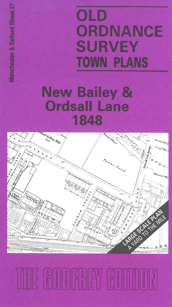
Salford, New Bailey and Ordsall Lane 1848
Code:
$5.00
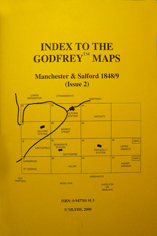
Godfrey Map Number 27. New Bailey and Ordsall Lane 1848. 36 inches to 1 mile. Bounded by The Crescent & Chapel St. to the north. Oldfield Rd. to the west, London & North Western Railway to the south and New Bailey St. to the east. Mostly industrial with mills timber yards, warehouses and wharfs by the River Irwell and M/c. Bolton & Bury Canal. New Bailey Prison is bounded by New Bailey St. Upper Booth St. Irwell St. and Stanley St. Also shows Salford and Pendleton Royal Dispensary and various churches and chapels. Housing concentrated mainly round Islington and Oldfield Rd.

