Alan Godfrey Maps
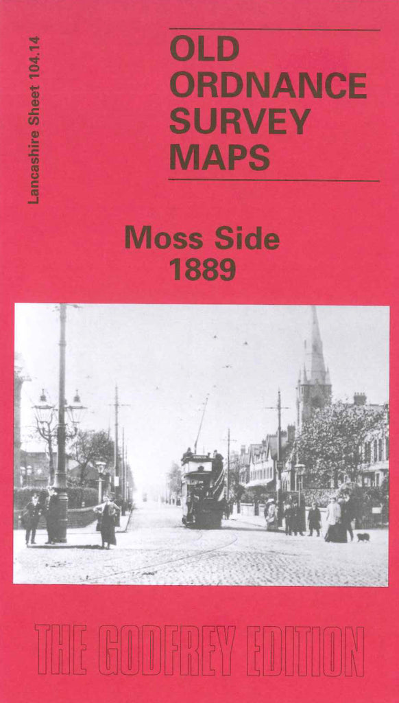
Manchester Moss Side 1889
Code:
$5.00
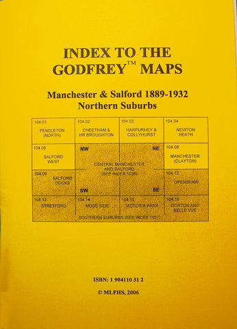
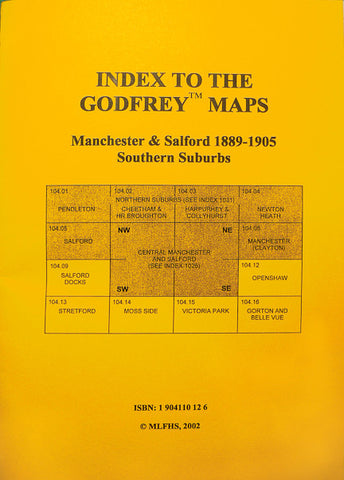
Godfrey Map Number 104.14a. Manchester-Moss Side 1889 This was one of the most heavily populated areas in Manchester with well over 8,000 terraced dwellings and over 200 dwellings with gardens. Includes: Breweries: Albert, Alexandra, Crown, Empress, Queen’s; Churches; St Bride’s, St Mary’s; un-named Churches and Chapels on Streets - Erskine St, Choriton Rd, Gt Western St, Stretford Rd; Medlock St.; Renshaw St. Barton St; Main Roads - Stretford Rd, Upper Choriton Rd, Whalley Rd, Claremont Rd, Denmark Rd; also Brooks’s Bar, All Saints, part Greenheys and Alexandra Park Withington; etc.

