Alan Godfrey Maps
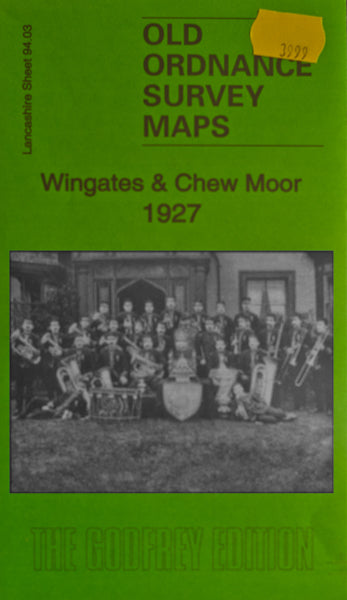
Wingates & Chew Moor 1927
Code:
$5.00
Godfrey Map Number 94.03. This map fits above the map of Westhoughton 1907 (Code 3997). Wingates is in the lower left hand corner of the map and shows mainly terraced houses off Chorley Road, Manchester Road, Church Street and Church Lane. Chew Moor is in the top right hand corner of the map and shows a few blocks of terraced houses off St Johns Road and Tempest Road. In between shows mainly farmlands. It includes: L.M.S.R. Wigan, Bolton & Bury Railway Line, Albion Cotton Mill (Spinning), Duke of Wellington Inn and St. John’s School on St John’s Road, Soap Works, etc.

