Alan Godfrey Maps
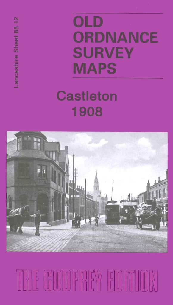
Castleton 1908
Code:
$5.00
Godfrey Map Number 88.12. Castleton 1908 15” to 1 mile. This is the continuation of the Heywood 1907 map (Code 3954). It shows Manchester Road running up the centre of the map with terraced housing on either side and farmlands on the outskirts. It includes: Marland Cotton Mill, Castleton Cotton Mill, Globe Works (Textile Machinery), Arrow Cotton Mill, Harp Cotton Mill, Globe Leather Works, Castleton Size Works and Castleton Iron Works. Also shows Liverpool, Bolton & Bury Railway, Lancashire & Yorkshire Railway, Heywood and Rochdale Canals. Etc.

