Alan Godfrey Maps
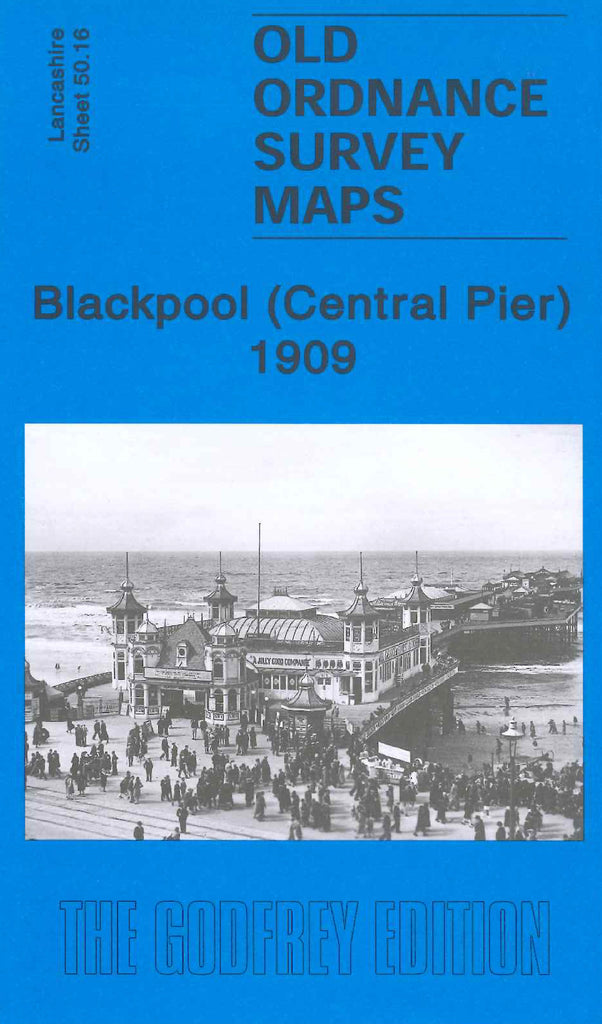
Blackpool (Central Pier) 1909
Code:
$5.00
Godfrey Map Number 50.16. Blackpool (Central Pier) 1909. 15 inches to 1 mile. Covers from Waterloo Road to the south up to Hornby Road to the north. The L & Y & L & NW Joint Railway Kirkham, Lytham & Blackpool coast line runs north to south behind the gas works and corporation store yard.

