Alan Godfrey Maps
Bury (South) 1907
Code:
$5.00
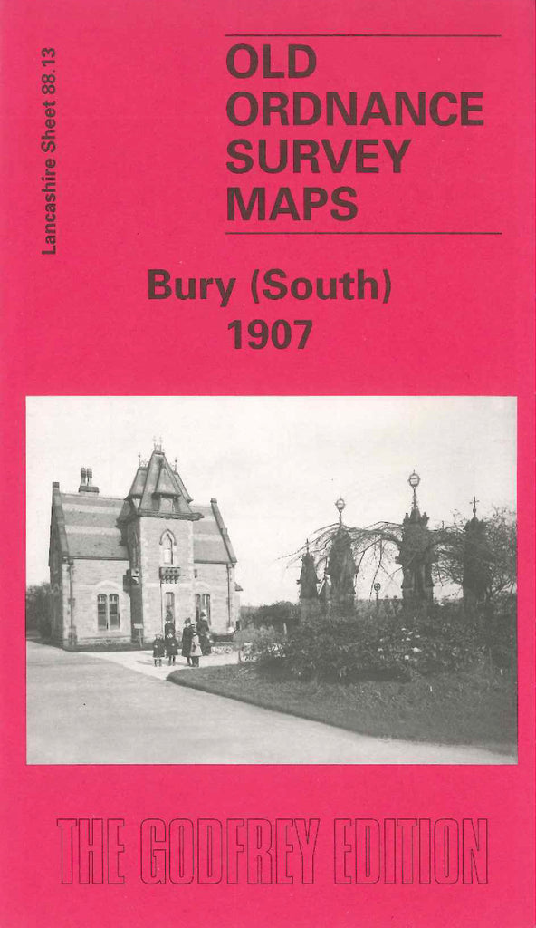
Godfrey Map Number 88.13. This map fits below the map of Bury 1908 ( Code 3312). It shows mainly farmlands with small groups of houses at country villages:- Warth Fold, Redvales, Gigg, Fletcher Fold, Barlow Fold, Hollins Vale, Hollins. The River Irwell winds its way from left to right. It includes: Bury Cemetery, Manchester Rd., Derby Works (Building Material), New Bridge Mills, Irwell Bleach & Dye Works, Paper & Cotton Mills at Gigg, Hampson Mills (Bleaching & Finishing), etc.

