Alan Godfrey Maps
Carrington 1904
Code:
$5.00
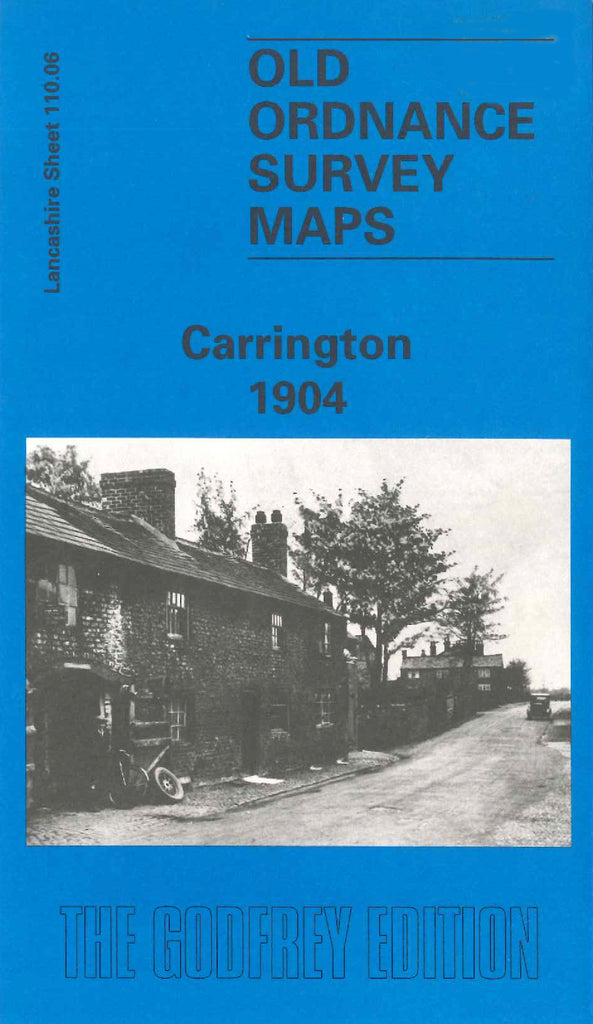
Godfrey Map Number 110.06. Lancashire: Carrington 1904 mainly farmlands, includes Boothey, Common Lane, Landlield, Stamford, Millbank, Holly, Dainewell and Carrington Hall Farms; Part of the Manchester Ship Canal; River Mersey; St George’s Church Manchester Road, etc.