Alan Godfrey Maps
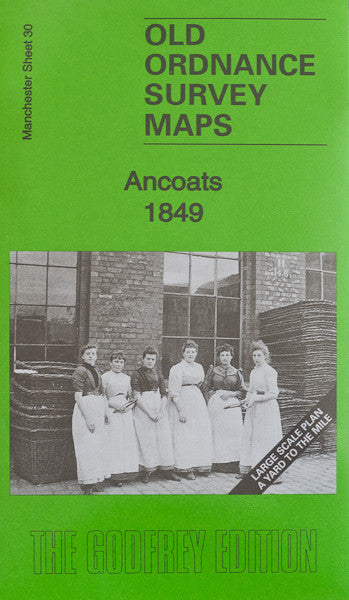
Manchester Ancoats 1849
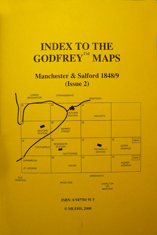
Code:Godfrey Map Number 30. This is one of the large scale plans of Manchester Centre, and fills in a gap that will eventually complete the whole of this area. It fits to the right of the map of Manchester Piccadilly 1849 (Code 3029). It shows mainly terraced housing and large buildings. Includes: Canal St. Dye Works on Canal St. in top left hand corner, on extreme right is Holt Town Mills off Ashton New Rd., below this is Manchester Gas Works with their large round gas holders. Great Ancoats St. is bottom left with various Cotton Mills in the area. Also includes: The Manchester, Ashton under Lyne, Oldham and Stockport Canal; Christ Church & Burial Grounds on Every St. Pollard St. Iron Works, Soho Chemical Works on Pollard St., Every St. Chapel, etc. There is a list of residents for six of the main streets on the reverse side of the map and a description of the history of the area.

